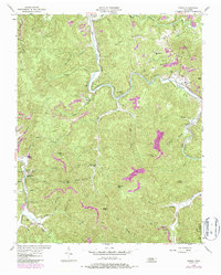
1954 Map of Norma
USGS Topo · Published 1986About this map
New River Tennessee carves a winding path through this portion of Scott and Campbell Counties, where narrow valley floors support small settlements like Norma and Cordell. The landscape is defined by the extraction economy of the mid-20th century, with numerous Strip Mine sites appearing alongside the Tennessee Railroad corridor. This rail line provided essential transport for the region's timber and coal, connecting remote sidings like Brimstone Siding and Goodman Siding to larger markets.
Find a feature on this map
72 named features on this map. Tap any name to fly to it.
Don’t see what you’re looking for? This feature index may not catch every label — zoom into the map to look around manually.
Map Details
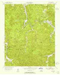
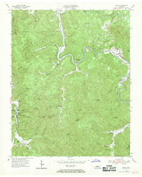
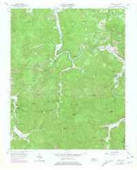
Editions of this 1954 Norma Map
4 editions found
Other maps of this area

1893 · Briceville
USGS Topo · 1:125,000

1895 · Wartburg
USGS Topo · 1:125,000

1895 · Briceville
USGS Topo · 1:125,000

1896 · Wartburg
USGS Topo · 1:125,000

1896 · Briceville
USGS Topo · 1:125,000

1935 · Gobey
USGS Topo · 1:24,000

1936 · Hogbell Gap
USGS Topo · 1:24,000

1936 · Block
USGS Topo · 1:24,000

1936 · Pioneer
USGS Topo · 1:24,000

1936 · Duncan Flats
USGS Topo · 1:24,000