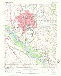
1965 Map of Norman
USGS Topo · Published 1966About this map
University of Oklahoma dominates the center of this mid-1960s landscape, illustrating the intersection of institutional growth and the regional oil economy. The map captures Norman as it expands southward toward the Canadian River, with the Univ of Okla South Campus and the specialized Cerebral Palsy Institute established on the city’s fringes. This era is defined by the coexistence of academic expansion and industrial extraction, evidenced by the numerous wells of the Norman Oil Field and the Southeast Norman Oil Field peppered across the surrounding plains.
Find a feature on this map
45 named features on this map. Tap any name to fly to it.
Don’t see what you’re looking for? This feature index may not catch every label — zoom into the map to look around manually.
Map Details
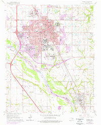
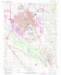
Editions of this 1965 Norman Map
3 editions found
Other maps of this area

1892 · Moore
USGS Topo · 1:62,500

1893 · Norman
USGS Topo · 1:62,500

1893 · Oklahoma City
USGS Topo · 1:62,500

1898 · Purcell
USGS Topo · 1:125,000

1904 · Chickasha
USGS Topo · 1:125,000

1925 · Norman NO 2
USGS Topo · 1:24,000

1934 · Moore
USGS Topo · 1:62,500

1936 · Norman
USGS Topo · 1:62,500

1938 · Moore
USGS Topo · 1:62,500

1954 · Oklahoma City
USGS Topo · 1:250,000