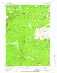
1958 Map of Norris Junction
USGS Topo · Published 1963About this map
The active geothermal landscape of Yellowstone National Park is documented here at a time when the Grand Loop Road and various service roads were the primary corridors for exploring the interior. Concentrated thermal activity is centered around the Norris Geyser Basin, home to the Echinus Geyser and the Norris Museum, while the Gibbon Geyser Basin to the southwest features the Artists Paintpot and Beryl Spring.
Find a feature on this map
52 named features on this map. Tap any name to fly to it.
Don’t see what you’re looking for? This feature index may not catch every label — zoom into the map to look around manually.
Map Details
Editions of this 1958 Norris Junction Map
3 editions found
Other maps of this area

1885 · Lake
USGS Topo · 1:125,000

1885 · Gallatin
USGS Topo · 1:125,000

1885 · Gallatin
USGS Topo · 1:125,000

1886 · Shoshone
USGS Topo · 1:125,000

1886 · Canyon
USGS Topo · 1:125,000

1888 · Shoshone
USGS Topo · 1:125,000

1895 · Shoshone
USGS Topo · 1:125,000

1895 · Canyon
USGS Topo · 1:125,000

1895 · Lake
USGS Topo · 1:125,000

1896 · Lake
USGS Topo · 1:125,000