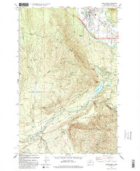
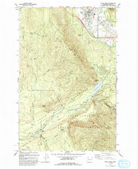
1993 Map of North Bend
USGS Topo · Published 1993About this map
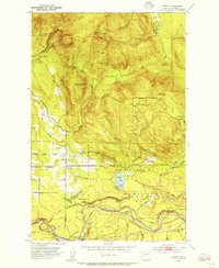
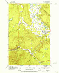
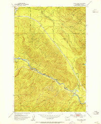
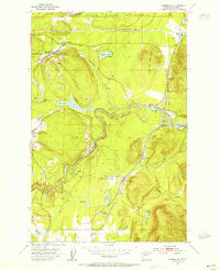
Rattlesnake Mountain dominates this landscape, serving as a massive topographical barrier between the South Fork Snoqualmie River to the north and the heavily protected Cedar River Watershed to the south. The city of North Bend and its residential outskirts like Harman Heights contrast with the strictly controlled municipal and industrial terrain of the southern valleys. Historically significant sites like Kerriston and Hemlock are identified, marking locations of former activity within the drainage basins of Raging River and the Cedar River. Infrastructure supporting Seattle's water and power needs is evident through the Masonry Pool, a series of penstocks, and a Powerhouse near Cedar Falls. In the southwest corner, the timber and rail heritage of the region is grounded by the presence of Selleck, Barneston, and the Cedar River RR corridor near Bagley Junction.
Find a feature on this map
51 named features on this map. Tap any name to fly to it.
Don’t see what you’re looking for? This feature index may not catch every label — zoom into the map to look around manually.
Map Details
Editions of this 1993 North Bend Map
2 editions found
Other maps of this area

1913 · Cedar Lake
USGS Topo · 1:125,000

1921 · Sultan
USGS Topo · 1:125,000

1923 · Sultan
USGS Topo · 1:125,000
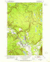
1953 · Snoqualmie
USGS Topo · 1:24,000
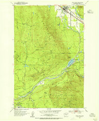
1953 · North Bend
USGS Topo · 1:24,000
1953 · Hobart
USGS Topo · 1:24,000
1953 · Fall City
USGS Topo · 1:24,000
1953 · Eagle Gorge
USGS Topo · 1:24,000
1953 · Cumberland
USGS Topo · 1:24,000

1957 · Wenatchee
USGS Topo · 1:250,000