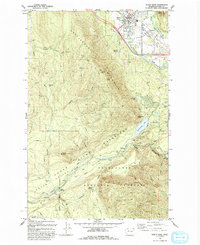
1993 Map of North Bend
USGS Topo · Published 1993About this map
North Bend serves as the primary hub in this study of the Cascade foothills, where the Middle Fork and South Fork Snoqualmie River converge. The landscape is defined by the massive presence of Rattlesnake Mountain and the strictly managed Cedar River Watershed, a territory marked by hydroelectric infrastructure like the Masonry Pool and Penstocks near Cedar Falls. This 1993 revision documents the area’s evolution from early industrial outposts to a managed wilderness and recreation corridor. Genealogists and local historians can pinpoint several significant former settlements, including Kerriston and Hemlock, alongside rail-dependent locations such as Barneston and Selleck. The presence of the Burlington Northern line and numerous borrow pits reflects a century of resource extraction and transport that shaped these mountain valleys.
Find a feature on this map
50 named features on this map. Tap any name to fly to it.
Don’t see what you’re looking for? This feature index may not catch every label — zoom into the map to look around manually.
Map Details
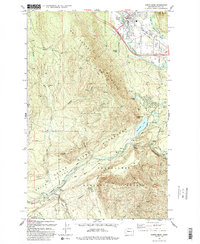
Editions of this 1993 North Bend Map
2 editions found
Other maps of this area

1913 · Cedar Lake
USGS Topo · 1:125,000

1921 · Sultan
USGS Topo · 1:125,000

1923 · Sultan
USGS Topo · 1:125,000

1953 · Snoqualmie
USGS Topo · 1:24,000

1953 · North Bend
USGS Topo · 1:24,000

1953 · Hobart
USGS Topo · 1:24,000

1953 · Fall City
USGS Topo · 1:24,000

1953 · Eagle Gorge
USGS Topo · 1:24,000

1953 · Cumberland
USGS Topo · 1:24,000

1957 · Wenatchee
USGS Topo · 1:250,000