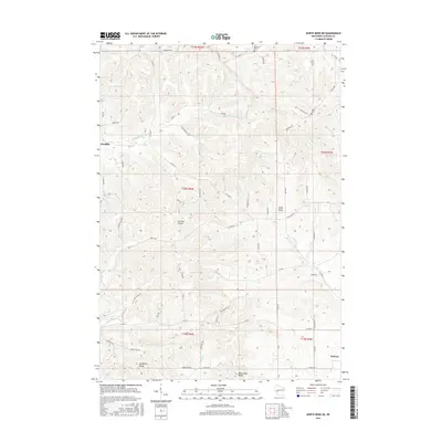
2015 Map of North Bend NE
USGS Topo · Published 2015About this map
The settlement of Franklin and the edge of Melrose anchor this 2015 study of the driftless-area terrain in Jackson County. The landscape is defined by its deep, narrow coulees and ridges, most notably German Coulee and Cuffy Knob, where family farming and rural life center around the creek bottoms and ridge-top roads. For those tracing local heritage, the map identifies small, significant landmarks like the Olson Cem and Morken Cem, alongside the distinct agricultural corridors of Sandberg Valley and Red School Valley.
Find a feature on this map
69 named features on this map. Tap any name to fly to it.
Don’t see what you’re looking for? This feature index may not catch every label — zoom into the map to look around manually.
Map Details
Editions of this 2015 North Bend NE Map
This is the sole edition of this map. No revisions or reprints were ever made.
Other maps of this area

1924 · Black River Falls
USGS Topo · 1:62,500

1926 · Black River Falls
USGS Topo · 1:62,500

1926 · North Bend
USGS Topo · 1:62,500

1927 · Blair
USGS Topo · 1:62,500

1928 · Melrose
USGS Topo · 1:48,000

1929 · North Bend
USGS Topo · 1:62,500

1949 · Melrose
USGS Topo · 1:62,500

1953 · Eau Claire
USGS Topo · 1:250,000

1958 · Eau Claire
USGS Topo · 1:250,000

1964 · Eau Claire
USGS Topo · 1:250,000