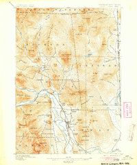
1896 Map of North Conway
USGS Topo · Published 1904About this map
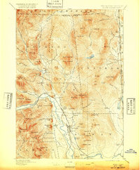
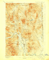
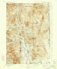
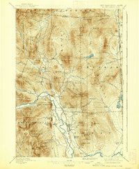
The Saco River valley serves as the primary corridor for commerce and transport in this late 19th-century survey of the White Mountains borderlands. Two major rail lines, the Maine Central Railroad and the Boston and Maine R. R., converge near North Conway and Intervale, highlighting the era's transition from timber extraction to a thriving mountain tourism economy. The landscape is dominated by massive granite formations, including South Moat Mt. and the distinctive White Horse Ledge near Echo Lake. Local landmarks like Goodrich Falls and the Mineral Spring near Pine Hill point to the area's development as a destination for travelers. In the more secluded eastern sections, smaller settlements such as North Chatham and Dundee are tucked between the high ridges of Sable Mt. and Eastman Mt. along the New Hampshire and Maine state line.
Find a feature on this map
103 named features on this map. Tap any name to fly to it.
Don’t see what you’re looking for? This feature index may not catch every label — zoom into the map to look around manually.
Map Details
Editions of this 1896 North Conway Map
9 editions found
Other maps of this area

1893 · Mt. Washington
USGS Topo · 1:62,500

1893 · Gorham
USGS Topo · 1:62,500

1894 · North Conway
USGS Topo · 1:62,500

1895 · Crawford Notch
USGS Topo · 1:62,500

1896 · Mt. Washington
USGS Topo · 1:62,500

1896 · Crawford Notch
USGS Topo · 1:62,500

1896 · North Conway
USGS Topo · 1:62,500

1896 · Gorham
USGS Topo · 1:62,500

1909 · Fryeburg
USGS Topo · 1:62,500

1910 · Kezar Falls
USGS Topo · 1:48,000