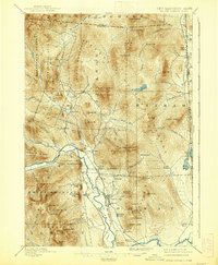
1896 Map of North Conway
USGS Topo · Published 1938About this map
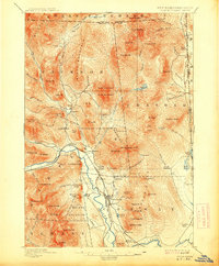
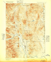
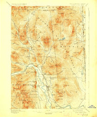
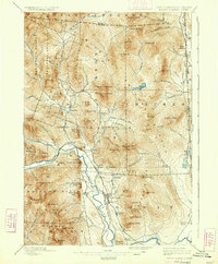
North Conway and the upper Saco River valley define the settled corridor of this landscape, where the Maine Central and Boston And Maine R. R. railroads facilitated the movement of timber and tourists. To the east, the New Hampshire Maine state line cuts through the high summits and isolated settlements like North Chatham and South Chatham. The terrain is dominated by significant peaks within the White Mountain National Forest, including the twin summits of North Doublehead and South Doublehead. Industrial activity is evident at Redstone, located near Redstone Ledge, while the power of the river is captured at Goodrich Falls. The map reveals a transition from the valley floor settlements like Intervale and Glen to the remote tracts of the Bean Purchase and Hales Location, reflecting a late 19th-century economy built on natural resources and the nascent mountain tourism industry.
Find a feature on this map
103 named features on this map. Tap any name to fly to it.
Don’t see what you’re looking for? This feature index may not catch every label — zoom into the map to look around manually.
Map Details
Editions of this 1896 North Conway Map
9 editions found
Other maps of this area

1893 · Mt. Washington
USGS Topo · 1:62,500

1893 · Gorham
USGS Topo · 1:62,500

1894 · North Conway
USGS Topo · 1:62,500

1895 · Crawford Notch
USGS Topo · 1:62,500

1896 · Mt. Washington
USGS Topo · 1:62,500

1896 · Crawford Notch
USGS Topo · 1:62,500

1896 · North Conway
USGS Topo · 1:62,500

1896 · Gorham
USGS Topo · 1:62,500

1909 · Fryeburg
USGS Topo · 1:62,500

1910 · Kezar Falls
USGS Topo · 1:48,000