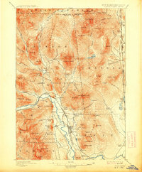
1896 Map of North Conway
USGS Topo · Published 1913About this map
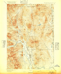
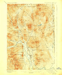
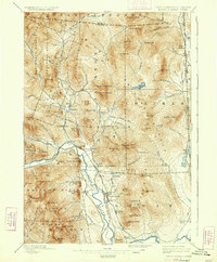
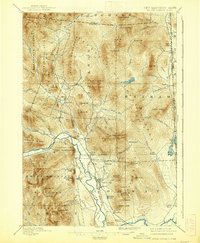
The Saco River valley serves as the primary corridor for settlement and transportation in this late 19th-century survey of the White Mountains. The village of North Conway stands as a focal point, supported by the intersecting lines of the Boston and Maine R. R. and the Maine Central railroad. These tracks trace the level ground between imposing granite features like Cathedral Ledge and White Horse Ledge.
Find a feature on this map
100 named features on this map. Tap any name to fly to it.
Don’t see what you’re looking for? This feature index may not catch every label — zoom into the map to look around manually.
Map Details
Editions of this 1896 North Conway Map
9 editions found
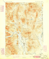
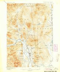
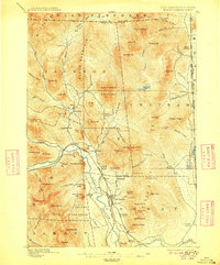
Other maps of this area

1893 · Mt. Washington
USGS Topo · 1:62,500

1893 · Gorham
USGS Topo · 1:62,500

1894 · North Conway
USGS Topo · 1:62,500

1895 · Crawford Notch
USGS Topo · 1:62,500

1896 · Mt. Washington
USGS Topo · 1:62,500

1896 · Crawford Notch
USGS Topo · 1:62,500

1896 · North Conway
USGS Topo · 1:62,500

1896 · Gorham
USGS Topo · 1:62,500

1909 · Fryeburg
USGS Topo · 1:62,500

1910 · Kezar Falls
USGS Topo · 1:48,000