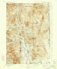
1896 Map of North Conway
USGS Topo · Published 1934About this map
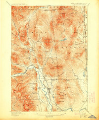
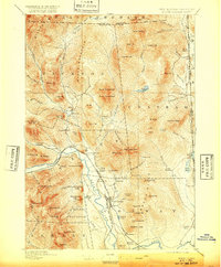
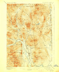
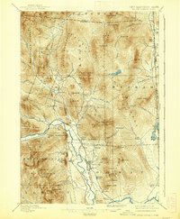
The Saco River valley serves as the primary corridor for settlement and industry in this late 19th-century landscape. The industrial character of the region is anchored by Redstone and the development around North Conway, supported by the convergence of the Boston and Maine R. R. and the Maine Central lines. These railroads dictate the growth of riverside villages like Intervale, Lower Bartlett, and Glen, while the surrounding terrain remains dominated by the peaks of the White Mountain National Forest.
Find a feature on this map
105 named features on this map. Tap any name to fly to it.
Don’t see what you’re looking for? This feature index may not catch every label — zoom into the map to look around manually.
Map Details
Editions of this 1896 North Conway Map
9 editions found
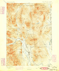
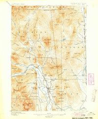
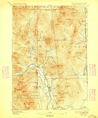
Other maps of this area

1893 · Mt. Washington
USGS Topo · 1:62,500

1893 · Gorham
USGS Topo · 1:62,500

1894 · North Conway
USGS Topo · 1:62,500

1895 · Crawford Notch
USGS Topo · 1:62,500

1896 · Mt. Washington
USGS Topo · 1:62,500

1896 · Crawford Notch
USGS Topo · 1:62,500

1896 · North Conway
USGS Topo · 1:62,500

1896 · Gorham
USGS Topo · 1:62,500

1909 · Fryeburg
USGS Topo · 1:62,500

1910 · Kezar Falls
USGS Topo · 1:48,000