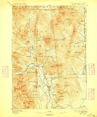
1896 Map of North Conway
USGS Topo · Published 1909About this map
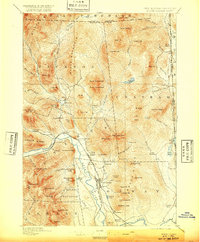
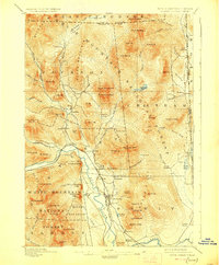
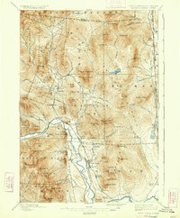
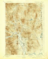
North Conway and the upper Saco River valley dominate this landscape at the close of the nineteenth century, showing a region defined by the intersection of early tourism and mountain industry. The transport network of the Boston And Maine R. R. and the Maine Central railroad lines converge near Intervale, facilitating the growth of mountain hamlets like Kearsarge and Lower Bartlett. Geologic landmarks that would become iconic for the region are clearly charted, including the granite faces of Cathedral Ledge and White Horse Ledge overlooking Echo Lake.
Find a feature on this map
104 named features on this map. Tap any name to fly to it.
Don’t see what you’re looking for? This feature index may not catch every label — zoom into the map to look around manually.
Map Details
Editions of this 1896 North Conway Map
9 editions found
Other maps of this area

1893 · Mt. Washington
USGS Topo · 1:62,500

1893 · Gorham
USGS Topo · 1:62,500

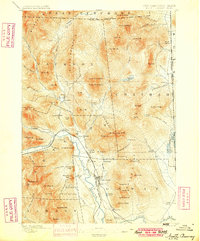
1894 · North Conway
USGS Topo · 1:62,500

1895 · Crawford Notch
USGS Topo · 1:62,500

1896 · Mt. Washington
USGS Topo · 1:62,500

1896 · Crawford Notch
USGS Topo · 1:62,500

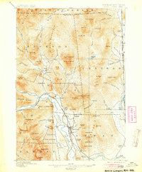
1896 · North Conway
USGS Topo · 1:62,500

1896 · Gorham
USGS Topo · 1:62,500

1909 · Fryeburg
USGS Topo · 1:62,500

1910 · Kezar Falls
USGS Topo · 1:48,000