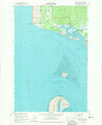
1956 Map of North Cove
USGS Topo · Published 1970About this map
Cape Shoalwater and the shifting interface of the Pacific Ocean and Willapa Bay define this mid-century coastal landscape. The map shows a region shaped by both federal presence and local maritime life, featuring the Shoalwater Indian Reservation and the Coast Guard Reservation. Small coastal clusters like North Cove and Dexter by the Sea sit alongside the Georgetown Cemetery, documenting the early social and spiritual centers of the peninsula.
Find a feature on this map
33 named features on this map. Tap any name to fly to it.
Don’t see what you’re looking for? This feature index may not catch every label — zoom into the map to look around manually.
Map Details
Editions of this 1956 North Cove Map
5 editions found
Other maps of this area

1938 · Cape Shoalwater
USGS Topo · 1:62,500

1938 · South Bend
USGS Topo · 1:62,500

1940 · South Bend
USGS Topo · 1:62,500

1941 · Grayland
USGS Topo · 1:62,500

1943 · Copalis Beach
USGS Topo · 1:250,000

1951 · Copalis Beach
USGS Topo · 1:250,000

1953 · Hoquiam
USGS Topo · 1:250,000
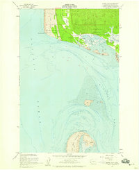
1956 · North Cove
USGS Topo · 1:24,000
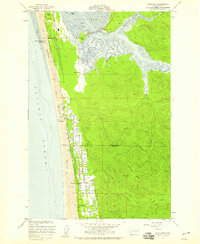
1956 · Grayland
USGS Topo · 1:24,000

1956 · Western
USGS Topo · 1:24,000