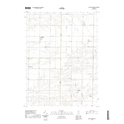
2021 Map of North Henderson
USGS Topo · Published 2021About this map
The agrarian landscape where Knox, Mercer, and Warren counties meet is defined by the branching tributaries of the Henderson Creek system. Rio and North Henderson serve as central hubs for a network of rural roads such as Knox Highway 2 and Co Hwy 6, connecting scattered farmsteads across the prairie. For genealogists, the map is remarkably dense with burial grounds, ranging from small family or community plots like Deatherage Cem and Potter Cem to the larger Oak Lawn Memorial Gardens.
Find a feature on this map
53 named features on this map. Tap any name to fly to it.
Don’t see what you’re looking for? This feature index may not catch every label — zoom into the map to look around manually.
Map Details
Editions of this 2021 North Henderson Map
This is the sole edition of this map. No revisions or reprints were ever made.
Other maps of this area

1921 · Monmouth
USGS Topo · 1:62,500

1923 · Monmouth
USGS Topo · 1:62,500

1923 · Alexis
USGS Topo · 1:62,500

1925 · Alexis
USGS Topo · 1:62,500

1925 · Galesburg
USGS Topo · 1:62,500

1927 · Galesburg
USGS Topo · 1:62,500

1947 · Woodhull
USGS Topo · 1:62,500

1953 · Woodhull
USGS Topo · 1:24,000

1953 · Viola
USGS Topo · 1:24,000
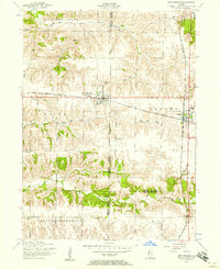
1953 · New Windsor
USGS Topo · 1:24,000