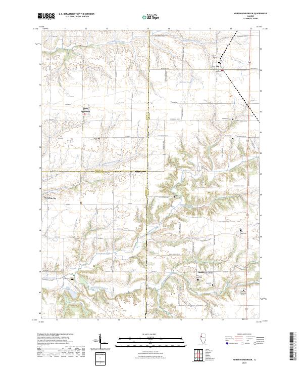
2024 Map of North Henderson
USGS Topo · Published 2024About this map
North Henderson and Rio anchor this landscape where the boundaries of Mercer, Knox, and Warren counties meet. The terrain is defined by the dendritic drainage patterns of North Henderson Creek, Middle Henderson Creek, and South Henderson Creek, which carve through the agricultural tablelands of western Illinois. For genealogists, the map is particularly rich in small burial grounds and family landmarks, including Mount Vernon Cem, Deatherage Cem, and Rice Blue Cem.
Find a feature on this map
82 named features on this map. Tap any name to fly to it.
Don’t see what you’re looking for? This feature index may not catch every label — zoom into the map to look around manually.
Map Details
Editions of this 2024 North Henderson Map
This is the sole edition of this map. No revisions or reprints were ever made.
Other maps of this area

1921 · Monmouth
USGS Topo · 1:62,500

1923 · Monmouth
USGS Topo · 1:62,500

1923 · Alexis
USGS Topo · 1:62,500

1925 · Alexis
USGS Topo · 1:62,500

1925 · Galesburg
USGS Topo · 1:62,500

1927 · Galesburg
USGS Topo · 1:62,500

1947 · Woodhull
USGS Topo · 1:62,500

1953 · Woodhull
USGS Topo · 1:24,000

1953 · Viola
USGS Topo · 1:24,000
1953 · New Windsor
USGS Topo · 1:24,000