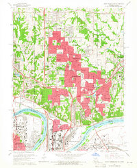
1964 Map of North Kansas City
USGS Topo · Published 1964About this map
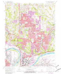
The Missouri River defines the southern boundary of this 1964 survey, where the Kansas City Municipal Airport and its associated gaging station sit prominently on the river's bend. North of the water, the landscape is a complex mix of rapid suburban expansion and established rural landmarks. The developing municipalities of Gladstone, Oakview, and Riverside are shown in dense detail, while the northern reaches retain a more open character with family-centered sites like Barry Cem and the Gashland Cem. Educational and religious institutions are particularly numerous, including the Midwestern Theological Seminary and dozens of local schools such as Oak Park High Sch. Industrial activity is evident along the river corridor, marked by numerous quarries, a claypit, and a complex network of rail lines including the Chicago Burlington and Quincy and the Union Pacific.
Find a feature on this map
124 named features on this map. Tap any name to fly to it.
Don’t see what you’re looking for? This feature index may not catch every label — zoom into the map to look around manually.
Map Details
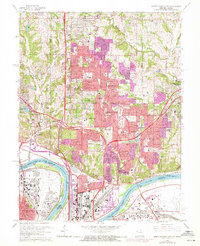
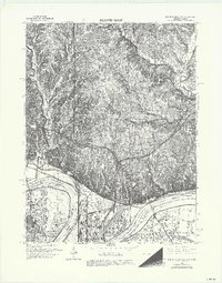
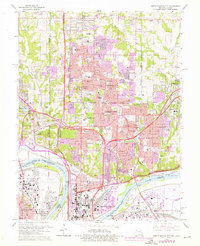
Editions of this 1964 North Kansas City Map
5 editions found
Other maps of this area

1890 · Kansas City
USGS Topo · 1:125,000

1894 · Kansas City
USGS Topo · 1:125,000

1894 · Independence
USGS Topo · 1:125,000

1914 · Smithville
USGS Topo · 1:62,500

1934 · Independence
USGS Topo · 1:24,000

1934 · Shawnee
USGS Topo · 1:24,000

1935 · Kansas City
USGS Topo · 1:24,000

1935 · North Kansas City
USGS Topo · 1:24,000

1935 · Liberty
USGS Topo · 1:24,000

1936 · Kearney
USGS Topo · 1:48,000