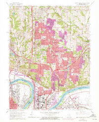
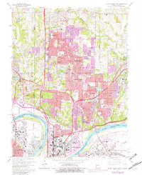
1964 Map of North Kansas City
USGS Topo · Published 1971About this map
The Missouri River forms a heavy bend through this landscape, separating the industrial flats of Quindaro and the Kansas City Municipal Airport from the rapidly expanding suburbs of the Northland. This 1970 photorevision documents a period of significant growth, with purple-tinted urban extensions sprawling across Gladstone and surrounding areas like Oakview and Northern Heights. Transportation infrastructure dominates the riverfront, where the Fairfax Bridge and Chouteau Bridge provide critical crossings, and the Burlington rail corridor follows the northern bank. Institutional landmarks such as the Midwestern Theological Seminary and Spelman Memorial Hospital anchor these residential developments. In the north, older rural markers like Barry Ch and Barry Cem sit just beyond the reaching edges of the metropolitan expansion, while the heavy industry of Claycomo marks the eastern boundary.
Find a feature on this map
80 named features on this map. Tap any name to fly to it.
Don’t see what you’re looking for? This feature index may not catch every label — zoom into the map to look around manually.
Map Details
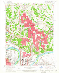
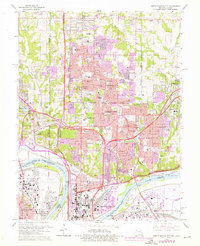
Editions of this 1964 North Kansas City Map
5 editions found
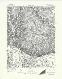
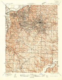
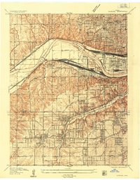
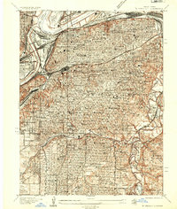
Other maps of this area

1890 · Kansas City
USGS Topo · 1:125,000

1894 · Kansas City
USGS Topo · 1:125,000

1894 · Independence
USGS Topo · 1:125,000

1914 · Smithville
USGS Topo · 1:62,500
1934 · Independence
USGS Topo · 1:24,000
1934 · Shawnee
USGS Topo · 1:24,000
1935 · Kansas City
USGS Topo · 1:24,000

1935 · North Kansas City
USGS Topo · 1:24,000

1935 · Liberty
USGS Topo · 1:24,000

1936 · Kearney
USGS Topo · 1:48,000