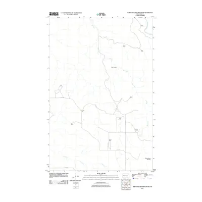
2011 Map of North Killdeer Mountain
USGS Topo · Published 2011About this map
North Killdeer Mountain dominates the southern reaches of this landscape, marking a prominent topographic rise in the badlands of western North Dakota. The area is characterized by a sparse network of ranching operations linked by gravel roads such as 10th St NW and 111th Ave SW. Waterways like Bear Creek and Chase Creek drain the undulating terrain, eventually feeding toward the Little Missouri River which clips the northeastern corner. The distribution of family-named sites, including Hanson Ranch, Sandvick Ranch, and Pletan Ranch, illustrates the localized nature of the regional agricultural economy in the early 21st century. Distinctive landforms such as Cedar Coulee and Round Top provide landmark orientation points across the open range, where human presence is defined primarily by these isolated homesteads and the section-line road grid.
Find a feature on this map
21 named features on this map. Tap any name to fly to it.
Don’t see what you’re looking for? This feature index may not catch every label — zoom into the map to look around manually.
Map Details
Editions of this 2011 North Killdeer Mountain Map
This is the sole edition of this map. No revisions or reprints were ever made.
Other maps of this area

1953 · Watford City
USGS Topo · 1:250,000

1957 · Watford City
USGS Topo · 1:250,000

1958 · Lone Butte SE
USGS Topo · 1:24,000

1958 · North Killdeer Mountain
USGS Topo · 1:24,000

1959 · Croff
USGS Topo · 1:24,000

1959 · Lone Butte NE
USGS Topo · 1:24,000

1967 · Watford City
USGS Topo · 1:250,000

1970 · Lost Bridge
USGS Topo · 1:24,000

1970 · Figure 4 Ranch
USGS Topo · 1:24,000

1974 · Killdeer
USGS Topo · 1:100,000