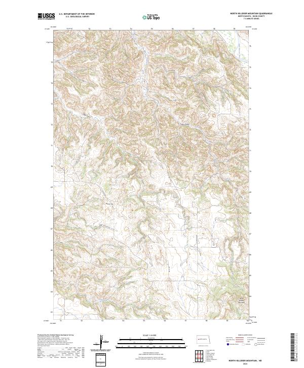
2024 Map of North Killdeer Mountain
USGS Topo · Published 2024About this map
North Killdeer Mountain anchors this portion of Dunn County, providing a high vantage point over the complex drainage systems of the North Dakota badlands. The northern boundary is defined by the Little Missouri River, which flows through a landscape carved by deep incisions such as Cedar Coulee and the extensive Big Gulch. This modern survey reveals a sparsely populated terrain where the grid of the Public Land Survey System meets a network of local routes like 10th St NW and 114th Ave NW. These roads navigate around prominent landmarks like Round Top to reach isolated reaches of the backcountry. Waterways including Bear Creek and Chase Creek highlight the importance of seasonal drainage in this arid region, illustrating the geological character of the Killdeer Mountains and their relationship to the larger river system.
Find a feature on this map
18 named features on this map. Tap any name to fly to it.
Don’t see what you’re looking for? This feature index may not catch every label — zoom into the map to look around manually.
Map Details
Editions of this 2024 North Killdeer Mountain Map
This is the sole edition of this map. No revisions or reprints were ever made.
Other maps of this area

1953 · Watford City
USGS Topo · 1:250,000

1957 · Watford City
USGS Topo · 1:250,000

1958 · Lone Butte SE
USGS Topo · 1:24,000

1958 · North Killdeer Mountain
USGS Topo · 1:24,000

1959 · Croff
USGS Topo · 1:24,000

1959 · Lone Butte NE
USGS Topo · 1:24,000

1967 · Watford City
USGS Topo · 1:250,000

1970 · Lost Bridge
USGS Topo · 1:24,000

1970 · Figure 4 Ranch
USGS Topo · 1:24,000

1974 · Killdeer
USGS Topo · 1:100,000