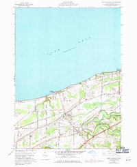
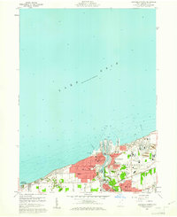
1960 Map of North Kingsville
USGS Topo · Published 1971About this map
Lake Erie defines the northern edge of this Lake County landscape, where the shoreline transition from the lakefront to the inland plateau is marked by settlements like Kingsville On-the-Lake and North Kingsville. By 1970, the transportation and utility corridors between the lake and Conneaut Creek show significant development, including the Ashtabula-Conneaut Airport and the heavy rail lines of the Penn Central and Norfolk and Western. This survey captures the region as residential areas and recreational spaces like the Golf Course and Drive-in Theater were being overlaid on an older rural grid. Local genealogy is supported by the mapping of several burial grounds, including Lulu Falls Cem, East Lake Cem, and Lake Road Cem, alongside numerous family-named roads such as Dibble Road and Wright Road that intersect the township.
Find a feature on this map
39 named features on this map. Tap any name to fly to it.
Don’t see what you’re looking for? This feature index may not catch every label — zoom into the map to look around manually.
Map Details
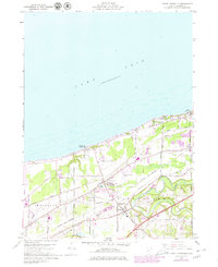
Editions of this 1960 North Kingsville Map
Other maps of this area

1905 · Ashtabula
USGS Topo · 1:62,500

1906 · Conneaut
USGS Topo · 1:62,500

1950 · Cleveland
USGS Topo · 1:250,000

1950 · Erie
USGS Topo · 1:250,000

1956 · Cleveland
USGS Topo · 1:250,000

1959 · Erie
USGS Topo · 1:250,000
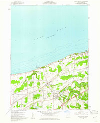
1960 · North Kingsville
USGS Topo · 1:24,000
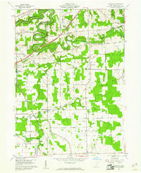
1960 · Gageville
USGS Topo · 1:24,000

1960 · Ashtabula South
USGS Topo · 1:24,000
1960 · Ashtabula North
USGS Topo · 1:24,000