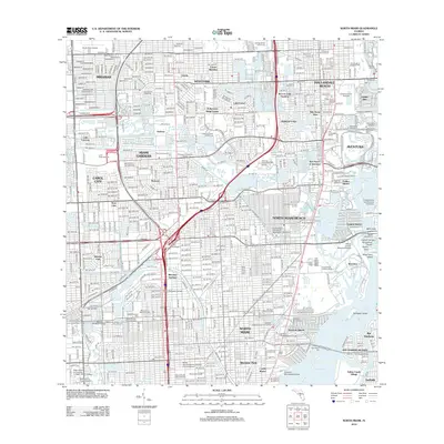
2012 Map of North Miami
USGS Topo · Published 2012About this map
Miramar and Hallandale Beach serve as the northern anchors for this heavily urbanized landscape during a period of significant commercial and educational growth. The map details a dense network of residential developments like Biscayne Gardens and Bunche Park, interspersed with major recreational and industrial landmarks. Notable sites include the Gulfstream Park Racetrack and the Hollywood Greyhound Track, which define the era's local entertainment economy. The presence of the Norwood Landfill and North Perry Airport illustrates the essential infrastructure required to support the rapidly expanding population in the Miami Gardens area.
Find a feature on this map
116 named features on this map. Tap any name to fly to it.
Don’t see what you’re looking for? This feature index may not catch every label — zoom into the map to look around manually.
Map Details
Editions of this 2012 North Miami Map
This is the sole edition of this map. No revisions or reprints were ever made.
Other maps of this area

1947 · North Miami
USGS Topo · 1:24,000

1949 · Opalocka
USGS Topo · 1:24,000

1949 · Port Everglades
USGS Topo · 1:24,000

1949 · Fort Lauderdale South
USGS Topo · 1:24,000

1950 · Hialeah
USGS Topo · 1:24,000

1950 · Miami
USGS Topo · 1:24,000

1950 · North Miami
USGS Topo · 1:24,000

1956 · Miami
USGS Topo · 1:250,000

1956 · West Palm Beach
USGS Topo · 1:250,000

1957 · West Palm Beach
USGS Topo · 1:250,000