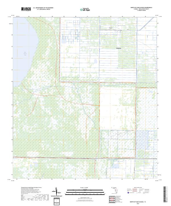
2024 Map of North of Gum Slough
USGS Topo · Published 2024About this map
Fellsmere serves as the primary hub of activity in this northern Indian River County landscape, characterized by its distinctive grid of canals and agricultural plots. The town's layout is supported by infrastructure like the Fellsmere Airport and local arteries such as 79th St and Co Rd 512. This region is defined by the significant hydrological influence of Blue Cypress Lake to the west and the meandering Gum Slough to the south. Much of the terrain is managed for preservation, containing portions of the Blue Cypress Conservation Area Trl and the Fort Drum Marsh Conservation Area Trl. These conservation corridors suggest a landscape where managed water systems and natural wetlands coexist, with the rigid drainage canal patterns of the north meeting the more fluid marshlands of the south.
Find a feature on this map
13 named features on this map. Tap any name to fly to it.
Don’t see what you’re looking for? This feature index may not catch every label — zoom into the map to look around manually.
Map Details
Editions of this 2024 North of Gum Slough Map
This is the sole edition of this map. No revisions or reprints were ever made.
Historical Maps of Fellsmere Through Time
20 maps found
1948 Riomar
Indian River County, FL
1949 Oslo
Indian River County, FL

1950 Oslo
Indian River County, FL

1950 Riomar
Indian River County, FL
1953 East of Gum Slough
Indian River County, FL
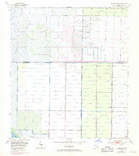
1953 Fellsmere SW
Indian River County, FL
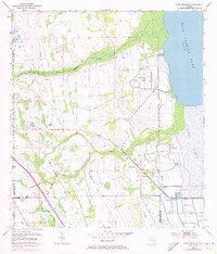
1953 Fort Drum NE
Indian River County, FL
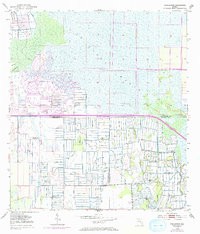
1953 Gum Slough
Indian River County, FL
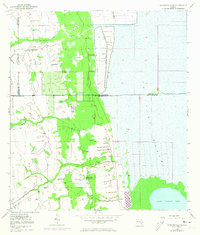
1953 Kenansville SE
Indian River County, FL
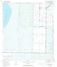
1953 North Of Gum Slough
Indian River County, FL
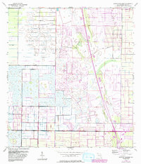
1953 South of Fellsmere
Indian River County, FL
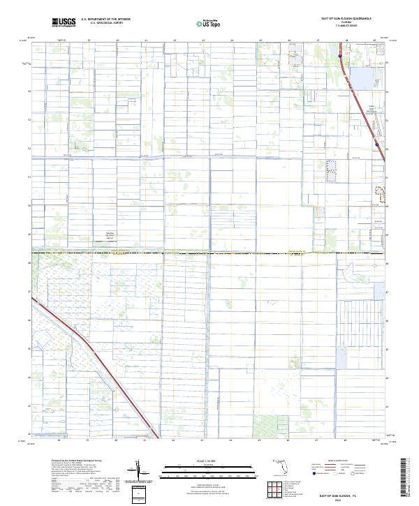
2024 East of Gum Slough
Indian River County, FL
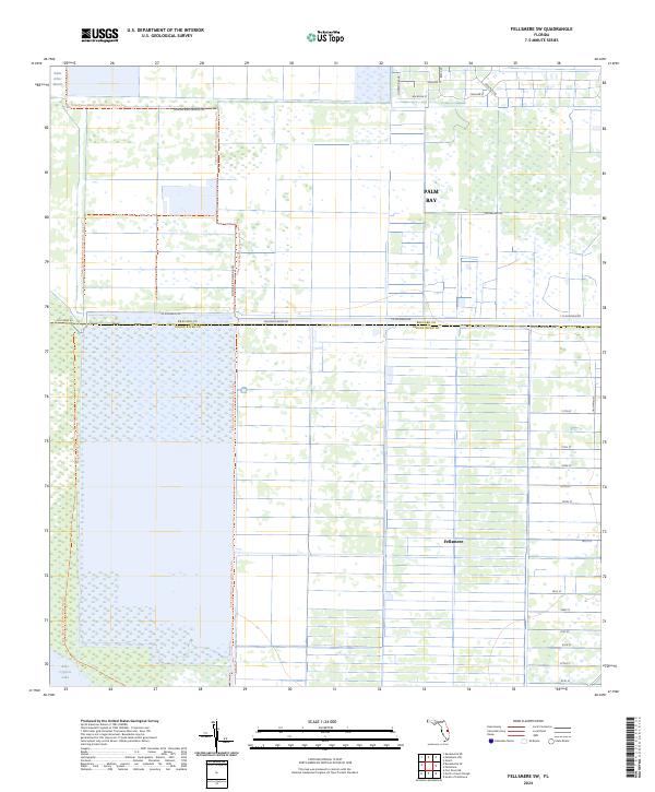
2024 Fellsmere SW
Indian River County, FL
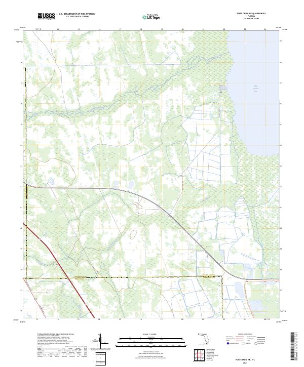
2024 Fort Drum NE
Indian River County, FL
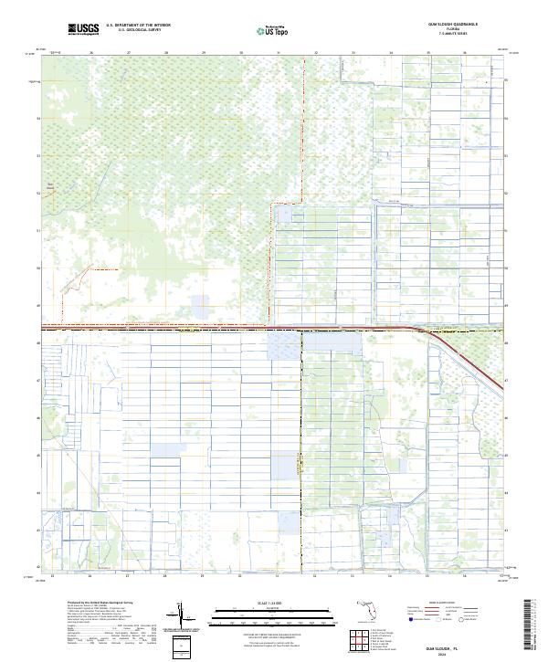
2024 Gum Slough
Indian River County, FL
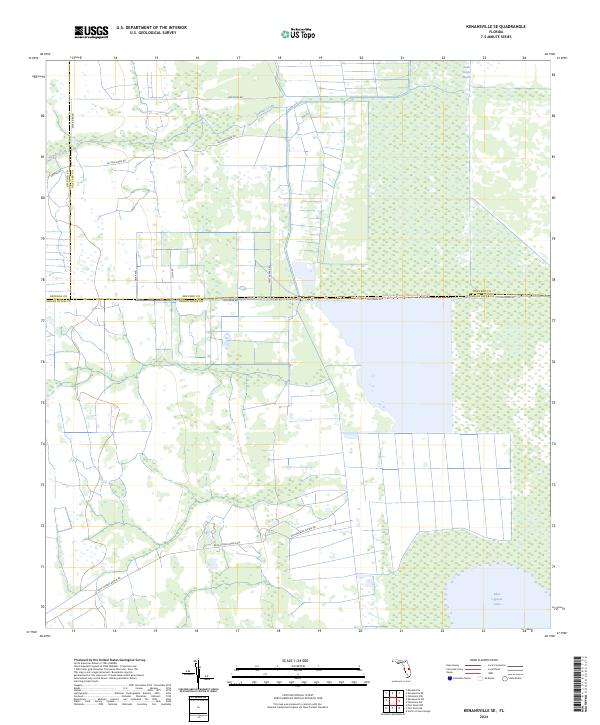
2024 Kenansville SE
Indian River County, FL
2024 North of Gum Slough
Indian River County, FL
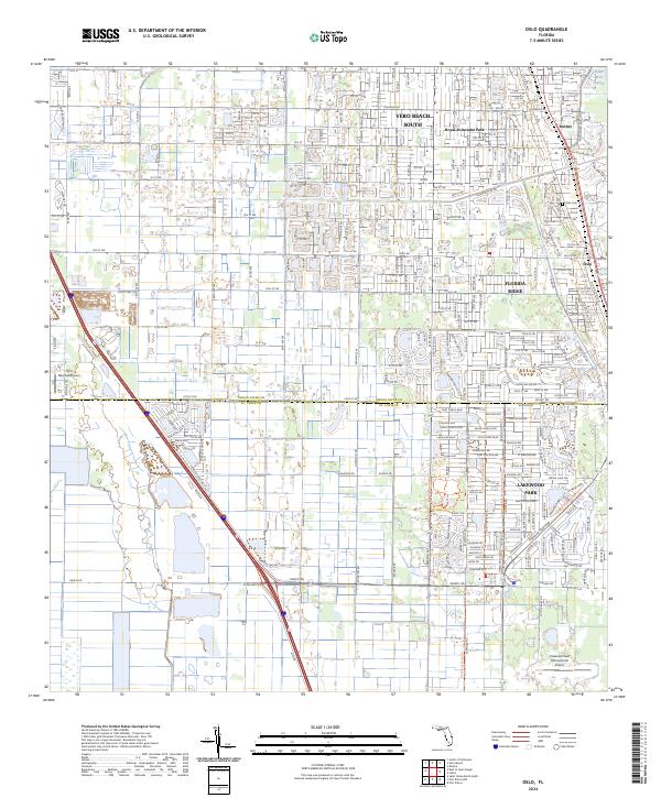
2024 Oslo
Indian River County, FL
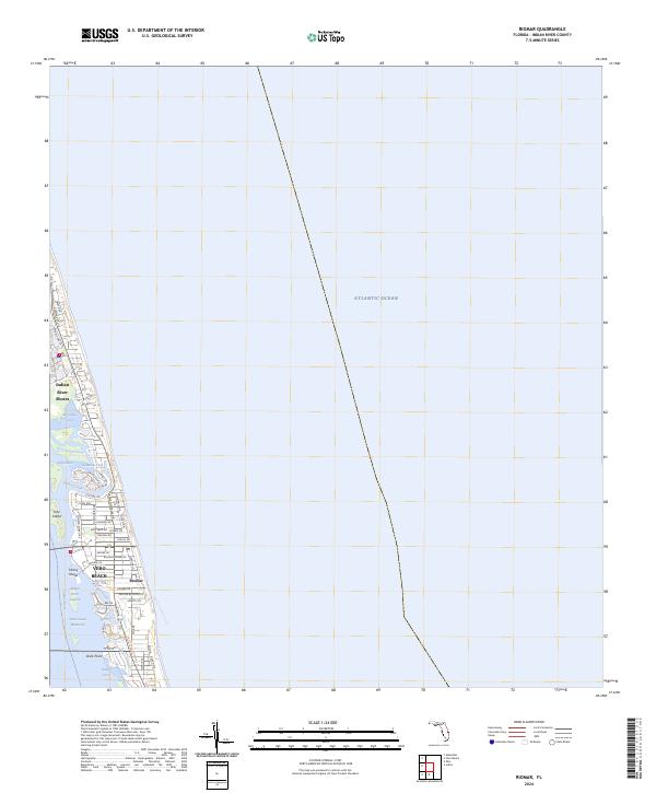
2024 Riomar
Indian River County, FL
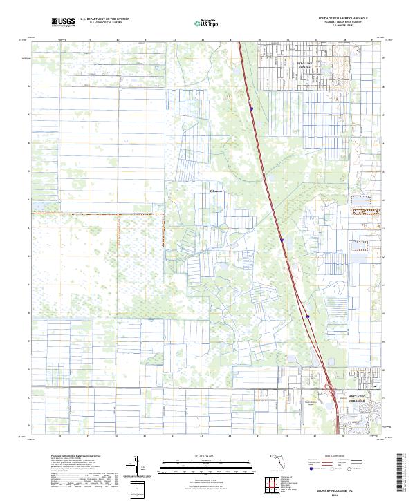
2024 South of Fellsmere
Indian River County, FL