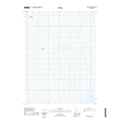
2020 Map of North of Knolls
USGS Topo · Published 2020About this map
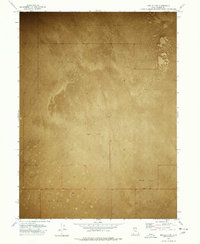
The Great Salt Lake Desert dominates this landscape in Tooele County, illustrating a vast and stark expanse of the Utah interior. The terrain is characterized by its extreme flatness, represented by the wide spacing of the elevation contours provided by the U.S. Geological Survey. In the northwestern portion of the map, the Newfoundland Evaporation Basin indicates the specialized industrial or environmental use of this arid environment. This 2020 edition captures the region's desolate character, where the natural salt crust and mineral basins are the primary features of interest, reflecting a landscape shaped by the ancient remains of Lake Bonneville.
Find a feature on this map
3 named features on this map. Tap any name to fly to it.
Don’t see what you’re looking for? This feature index may not catch every label — zoom into the map to look around manually.
Map Details
Editions of this 2020 North of Knolls Map
This is the sole edition of this map. No revisions or reprints were ever made.
Other maps of this area

1953 · Tooele
USGS Topo · 1:250,000

1955 · Tooele
USGS Topo · 1:250,000
1973 · Knolls 2 NW
USGS Topo · 1:24,000
1973 · Knolls 2 NE
USGS Topo · 1:24,000
1973 · Knolls
USGS Topo · 1:24,000
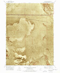
1973 · Aragonite NW
USGS Topo · 1:24,000
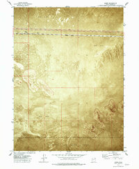
1973 · Barro
USGS Topo · 1:24,000
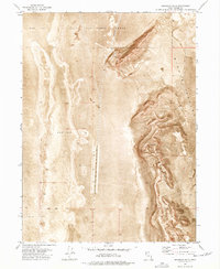
1973 · Grayback Hills
USGS Topo · 1:24,000
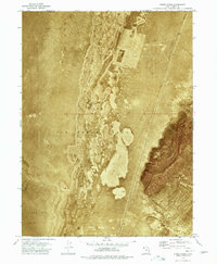
1973 · Finger Ridge
USGS Topo · 1:24,000
1973 · Knolls 2 SW
USGS Topo · 1:24,000