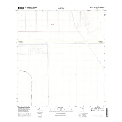
2015 Map of North of Lone Palm Head
USGS Topo · Published 2015About this map
Miami Canal cuts across the northeastern corner of this 2015 landscape, serving as a primary hydrological artery through the northern reaches of Broward County at the boundary of Palm Beach County. The area is characterized by the expansive grid of the Public Land Survey System, specifically T47s R35e, which dominates the northern portion of the quadrangle. In the southwestern sector, Government Rd winds through the terrain, providing a rare terrestrial corridor in a region defined by managed water and vast, open parcels. The map reveals the intricate drainage and boundary patterns typical of the northern Everglades before more intensive modern development reaches these specific sections, offering a look at the infrastructure required to manage the southern Florida interior.
Find a feature on this map
4 named features on this map. Tap any name to fly to it.
Don’t see what you’re looking for? This feature index may not catch every label — zoom into the map to look around manually.
Map Details
Editions of this 2015 North of Lone Palm Head Map
This is the sole edition of this map. No revisions or reprints were ever made.
Other maps of this area

1956 · West Palm Beach
USGS Topo · 1:250,000

1957 · West Palm Beach
USGS Topo · 1:250,000

1958 · West Palm Beach
USGS Topo · 1:250,000
1973 · Everglades 4 NW
USGS Topo · 1:24,000
1973 · Everglades 3 NE
USGS Topo · 1:24,000
1974 · Everglades 1 SW
USGS Topo · 1:24,000
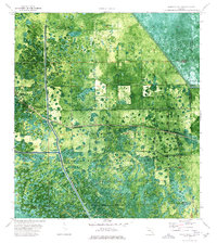
1974 · Everglades 2 SW
USGS Topo · 1:24,000
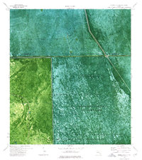
1974 · Everglades 2 SE
USGS Topo · 1:24,000
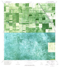
1974 · Everglades 1 NW
USGS Topo · 1:24,000
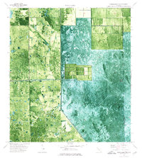
1974 · Everglades 2 NW
USGS Topo · 1:24,000