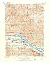
1954 Map of North Platte
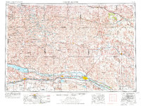
USGS Topo · Published 1968This historical map portrays the area of North Platte in 1954, primarily covering Lincoln County as well as portions of Garden County, Logan County, Grant County, Hooker County, Thomas County, McPherson County, Arthur County, Blaine County, Custer County, Keith County, Dawson County, and Perkins County. Featuring a scale of 1:250000, this map provides a highly detailed snapshot of the terrain, roads, buildings, counties, and historical landmarks in the North Platte region at the time. Published in 1968, it is one of 3 known editions of this map due to revisions or reprints.
Find a feature on this map
178 named features on this map. Tap any name to fly to it.
Don’t see what you’re looking for? This feature index may not catch every label — zoom into the map to look around manually.
Map Details
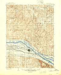
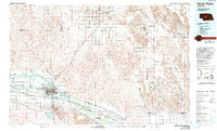
Editions of this 1954 North Platte Map
3 editions found
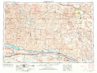
Historical Maps of Mobile Manor Through Time
7 maps found