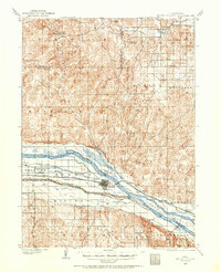
1985 Map of North Platte
USGS Topo · Published 1985About this map
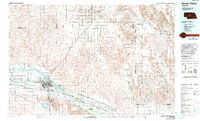
The confluence of the North and South Platte Rivers forms a central geographic focus for this 1980s Nebraska landscape. The city of North Platte serves as a major transportation and educational hub, hosting the Mid Plains Voc-Tech College and the sprawling operations of the Union Pacific railroad. To the west, the Buffalo Bill Ranch State Park preserves the legacy of the region's famous resident, while the Fort Mc Pherson National Cemetery south of the river remains a significant historical landmark. The terrain is defined by the transition from river bottomlands to the elevated plateau surfaces of the Garfield Table and Tallin Table. Extensive irrigation works, such as the Tri-County Supply Canal and Birdwood Canal, illustrate the engineering efforts to support agriculture across the sandhills and plains. Smaller settlements like Stapleton and Arnold dot the northern reaches along the South Loup River.
Find a feature on this map
84 named features on this map. Tap any name to fly to it.
Don’t see what you’re looking for? This feature index may not catch every label — zoom into the map to look around manually.
Map Details
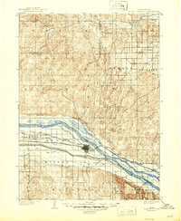
Editions of this 1985 North Platte Map
2 editions found
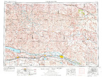
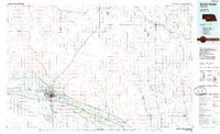
Historical Maps of North Platte Through Time
7 maps found