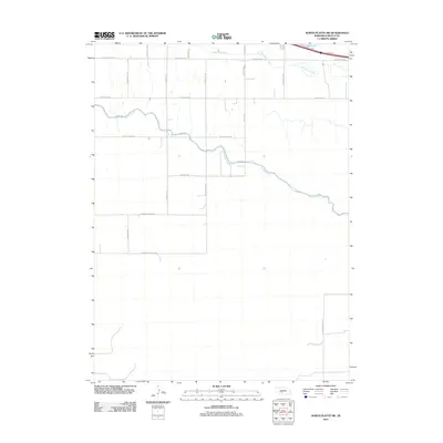
2011 Map of North Platte SW
USGS Topo · Published 2011About this map
The Outlet Canal carves a winding path across this portion of Lincoln County, defining the local hydraulic landscape alongside the natural drainage of Fremont Slough. This region, located southwest of North Platte, exhibits a transition from the agricultural grid to the more irregular terrain near Birdwood Lake in the north. The presence of W State Farm Rd and S Miller School Rd highlights the area's rural development and civic history, while specialized infrastructure like W Power Rd and W Goedert-White Rd connect various agricultural and utility holdings. This 2011 survey reflects the enduring importance of water management in the Nebraska plains, where man-made waterways like the canal system interlace with ancient sloughs to support the local farming economy.
Find a feature on this map
19 named features on this map. Tap any name to fly to it.
Don’t see what you’re looking for? This feature index may not catch every label — zoom into the map to look around manually.
Map Details
Editions of this 2011 North Platte SW Map
This is the sole edition of this map. No revisions or reprints were ever made.
Other maps of this area
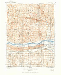
1898 · Paxton
USGS Topo · 1:125,000
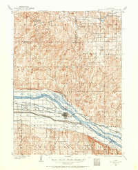
1899 · North Platte
USGS Topo · 1:125,000
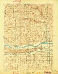
1901 · Paxton
USGS Topo · 1:125,000
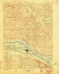
1902 · North Platte
USGS Topo · 1:125,000

1954 · McCook
USGS Topo · 1:250,000

1954 · North Platte
USGS Topo · 1:250,000

1956 · North Platte
USGS Topo · 1:250,000

1957 · North Platte
USGS Topo · 1:250,000

1957 · McCook
USGS Topo · 1:250,000

1958 · McCook
USGS Topo · 1:250,000