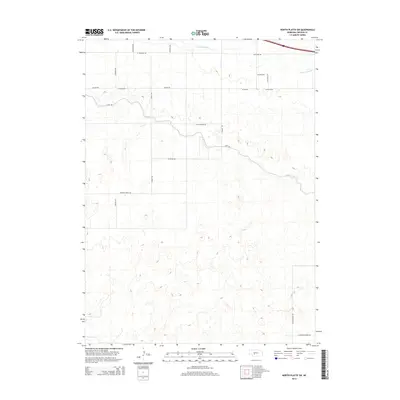
2014 Map of North Platte SW
USGS Topo · Published 2014About this map
The agricultural landscape of Lincoln County south of the Platte River is defined by a complex network of water management and rural section roads. Fremont Slough and the engineered Outlet Canal provide the primary drainage and irrigation structure for this central Nebraska territory. The topography is marked by fine-grained elevation changes that dictate the placement of local thoroughfares like Canal Rd and W State Farm Rd. Local history is preserved in the naming of rural corridors such as Miller School Rd and Goedert White Rd, reflecting the legacy of early school districts and family landholdings. The map illustrates a high degree of land subdivision, where the intersection of Trinity Rd and W Power Rd indicates the expansion of rural utility and transport infrastructure in the early 21st century.
Find a feature on this map
20 named features on this map. Tap any name to fly to it.
Don’t see what you’re looking for? This feature index may not catch every label — zoom into the map to look around manually.
Map Details
Editions of this 2014 North Platte SW Map
This is the sole edition of this map. No revisions or reprints were ever made.
Other maps of this area
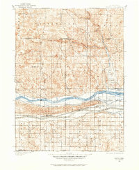
1898 · Paxton
USGS Topo · 1:125,000
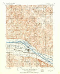
1899 · North Platte
USGS Topo · 1:125,000
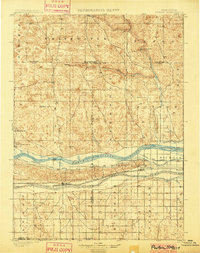
1901 · Paxton
USGS Topo · 1:125,000
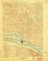
1902 · North Platte
USGS Topo · 1:125,000

1954 · McCook
USGS Topo · 1:250,000

1954 · North Platte
USGS Topo · 1:250,000

1956 · North Platte
USGS Topo · 1:250,000

1957 · North Platte
USGS Topo · 1:250,000

1957 · McCook
USGS Topo · 1:250,000

1958 · McCook
USGS Topo · 1:250,000