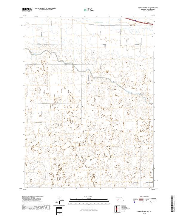
2021 Map of North Platte SW
USGS Topo · Published 2021About this map
Fremont Slough and the winding Outlet Canal define the northern hydrology of this Nebraska landscape, where the flat valley floors meet the more complex terrain to the south. The settlement of Meadow Lawns sits near the southern edge, connected by a network of rural routes that reflect the area’s agricultural and educational history, such as W Miller School Rd and S Miller School Rd. The section lines are clearly articulated by a grid of named roads including W State Farm Rd and W Correction Line Rd, showing a highly organized division of land typical of the region's development. This map provides a detailed view of the water management systems essential to the area, with Canal Rd following the prominent irrigation infrastructure that supports the local farms.
Find a feature on this map
29 named features on this map. Tap any name to fly to it.
Don’t see what you’re looking for? This feature index may not catch every label — zoom into the map to look around manually.
Map Details
Editions of this 2021 North Platte SW Map
This is the sole edition of this map. No revisions or reprints were ever made.
Other maps of this area

1898 · Paxton
USGS Topo · 1:125,000

1899 · North Platte
USGS Topo · 1:125,000

1901 · Paxton
USGS Topo · 1:125,000

1902 · North Platte
USGS Topo · 1:125,000

1954 · McCook
USGS Topo · 1:250,000

1954 · North Platte
USGS Topo · 1:250,000

1956 · North Platte
USGS Topo · 1:250,000

1957 · North Platte
USGS Topo · 1:250,000

1957 · McCook
USGS Topo · 1:250,000

1958 · McCook
USGS Topo · 1:250,000