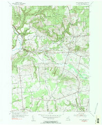
1955 Map of North Western
USGS Topo · Published 1957About this map
The Mohawk River and Black River converge in this mid-century landscape, framing the small hamlets of North Western and Frenchville. This rural terrain in Oneida County is defined by its numerous family-named peaks, including Carmichael Hill, Starr Hill, and Boody Hill, which separate the agricultural valley floors from the protected woodlands of the State Reforestation Area. The network of small brooks—Big Brook, Gifford Brook, and Steuben Creek—indicates a well-watered region where small-scale farming and forest management were the primary drivers of the local economy.
Find a feature on this map
42 named features on this map. Tap any name to fly to it.
Don’t see what you’re looking for? This feature index may not catch every label — zoom into the map to look around manually.
Map Details
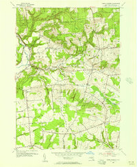
Editions of this 1955 North Western Map
2 editions found
Other maps of this area

1895 · Oriskany
USGS Topo · 1:62,500

1897 · Remsen
USGS Topo · 1:62,500

1898 · Utica
USGS Topo · 1:62,500

1898 · Oriskany
USGS Topo · 1:62,500

1900 · Utica
USGS Topo · 1:62,500

1900 · Remsen
USGS Topo · 1:62,500

1904 · Boonville
USGS Topo · 1:62,500
1945 · South Trenton
USGS Topo · 1:31,680

1945 · Boonville
USGS Topo · 1:24,000

1945 · Forestport
USGS Topo · 1:24,000