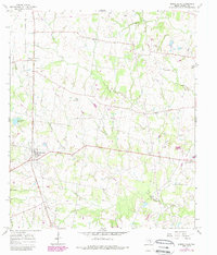
1965 Map of North Zulch
USGS Topo · Published 1989About this map
North Zulch and its surrounding agricultural landscape in Madison County are captured here in a 1965 survey, later updated with photorevisions in the 1980s. The settlement pattern reflects a traditional rural Texan community anchored by country churches and small family cemeteries, such as Sand Prairie Ch and its neighboring Sand Prairie Cem. The landscape is defined by the winding paths of Kickapoo Creek and Iron Creek, with small clusters like Mecca and George marking the intersections of local life.
Find a feature on this map
30 named features on this map. Tap any name to fly to it.
Don’t see what you’re looking for? This feature index may not catch every label — zoom into the map to look around manually.
Map Details
Editions of this 1965 North Zulch Map
2 editions found
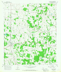
Other maps of this area

1925 · Iola No 2
USGS Topo · 1:48,000

1931 · Iola
USGS Topo · 1:62,500

1953 · Palestine
USGS Topo · 1:250,000

1954 · Waco
USGS Topo · 1:250,000

1954 · Beaumont
USGS Topo · 1:250,000

1954 · Austin
USGS Topo · 1:250,000

1955 · Waco
USGS Topo · 1:250,000

1957 · Beaumont
USGS Topo · 1:250,000

1957 · Palestine
USGS Topo · 1:250,000

1959 · Clear Lake
USGS Topo · 1:24,000