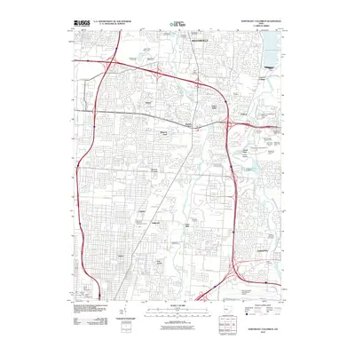
2010 Map of Northeast Columbus
USGS Topo · Published 2010About this map
Westerville and Gahanna anchor the north and south ends of this suburban landscape, characterized by the dense residential expansion of Franklin County in the early 21st century. The northeastern reach of the capital city is defined by the massive Hoover Reservoir and its accompanying Hoover Dam along Big Walnut Creek. This waterway, along with Alum Creek, provides a natural corridor for numerous recreational areas including Gould Park and the Gahanna Municipal Golf Course. Historic continuity is visible through several established burial grounds like Otterbein Cemetery and the McKendree Methodist Episcopal Cemetery, which sit amidst newer infrastructure. The southern edge of the sheet transitions into the industrial and transportation hub of the Port Columbus International Airport, while older neighborhood centers like Sharon, Linden, and Central College remain embedded within the modern street grid.
Find a feature on this map
66 named features on this map. Tap any name to fly to it.
Don’t see what you’re looking for? This feature index may not catch every label — zoom into the map to look around manually.
Map Details
Editions of this 2010 Northeast Columbus Map
This is the sole edition of this map. No revisions or reprints were ever made.
Other maps of this area

1901 · Dublin
USGS Topo · 1:62,500

1902 · Westerville
USGS Topo · 1:62,500

1903 · Dublin
USGS Topo · 1:62,500

1904 · Westerville
USGS Topo · 1:62,500

1923 · West Columbus
USGS Topo · 1:62,500

1925 · East Columbus
USGS Topo · 1:62,500

1925 · West Columbus
USGS Topo · 1:62,500

1943 · East Columbus
USGS Topo · 1:62,500

1947 · Columbus
USGS Topo · 1:250,000

1950 · Marion
USGS Topo · 1:250,000