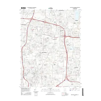
2016 Map of Northeast Columbus
USGS Topo · Published 2016About this map
Port Columbus International Airport dominates the southern edge of this map, representing a significant transportation hub for the metropolitan region in the mid-2010s. The landscape is characterized by the suburban expansion of Columbus, Westerville, and Gahanna, where residential development meets the riparian corridors of Big Walnut Creek and Alum Creek. This 2016 survey captures the area just as modern infrastructure, like the International Gateway, serves the dense commercial and educational sectors including Otterbein Coll and Hondros Coll. Local history is preserved in numerous burial grounds and older settlements like Mifflinville and Parks Mills. The presence of the McKendree Methodist Episcopal Cem and Peace Evangelical Lutheran Cem provides a genealogical link to the area's 19th-century church-based communities, standing in contrast to the nearby City of Columbus Sludge Pond and large-scale utility works.
Find a feature on this map
48 named features on this map. Tap any name to fly to it.
Don’t see what you’re looking for? This feature index may not catch every label — zoom into the map to look around manually.
Map Details
Editions of this 2016 Northeast Columbus Map
This is the sole edition of this map. No revisions or reprints were ever made.
Other maps of this area

1901 · Dublin
USGS Topo · 1:62,500

1902 · Westerville
USGS Topo · 1:62,500

1903 · Dublin
USGS Topo · 1:62,500

1904 · Westerville
USGS Topo · 1:62,500

1923 · West Columbus
USGS Topo · 1:62,500

1925 · East Columbus
USGS Topo · 1:62,500

1925 · West Columbus
USGS Topo · 1:62,500

1943 · East Columbus
USGS Topo · 1:62,500

1947 · Columbus
USGS Topo · 1:250,000

1950 · Marion
USGS Topo · 1:250,000