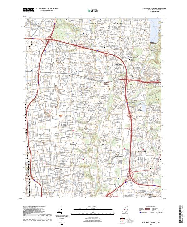
2023 Map of Northeast Columbus
USGS Topo · Published 2023About this map
Columbus and its northeastern suburbs are meticulously documented in this contemporary survey, revealing the intricate urban and suburban infrastructure of Franklin County. The landscape is defined by the corridors of Alum Creek and Big Walnut Creek, which create natural buffers between residential developments and commercial zones. To the north, Westerville and Central College maintain their distinct identities, while the sprawling footprint of the John Glenn Columbus International Airport dominates the southern reaches of the map.
Find a feature on this map
47 named features on this map. Tap any name to fly to it.
Don’t see what you’re looking for? This feature index may not catch every label — zoom into the map to look around manually.
Map Details
Editions of this 2023 Northeast Columbus Map
This is the sole edition of this map. No revisions or reprints were ever made.
Other maps of this area

1901 · Dublin
USGS Topo · 1:62,500

1902 · Westerville
USGS Topo · 1:62,500

1903 · Dublin
USGS Topo · 1:62,500

1904 · Westerville
USGS Topo · 1:62,500

1923 · West Columbus
USGS Topo · 1:62,500

1925 · East Columbus
USGS Topo · 1:62,500

1925 · West Columbus
USGS Topo · 1:62,500

1943 · East Columbus
USGS Topo · 1:62,500

1947 · Columbus
USGS Topo · 1:250,000

1950 · Marion
USGS Topo · 1:250,000