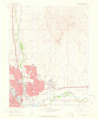
1961 Map of Northeast Pueblo
USGS Topo · Published 1963About this map
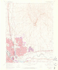
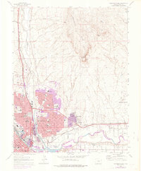
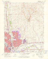
The city of Pueblo sits at the confluence of Fountain Creek and the Arkansas River, serving as a major industrial and transportation hub in the early 1960s. The urban grid is dense with civic infrastructure, including the State Hospital, Mineral Palace, and a significant concentration of educational institutions like Pueblo High School and Risley Jr High School. The eastern expansion of the city is evident in the developing neighborhoods near Fearnowville and the expansive Pueblo Memorial Airport.
Find a feature on this map
39 named features on this map. Tap any name to fly to it.
Don’t see what you’re looking for? This feature index may not catch every label — zoom into the map to look around manually.
Map Details
Editions of this 1961 Northeast Pueblo Map
7 editions found
Other maps of this area

1891 · Pueblo
USGS Topo · 1:125,000

1891 · Nepesta
USGS Topo · 1:125,000

1893 · Nepesta
USGS Topo · 1:125,000

1894 · Pueblo
USGS Topo · 1:125,000

1896 · Pueblo
USGS Topo · 1:125,000

1897 · Pueblo
USGS Topo · 1:125,000

1904 · Nepesta
USGS Topo · 1:125,000

1954 · Pueblo
USGS Topo · 1:250,000

1957 · Pueblo
USGS Topo · 1:250,000

1958 · Pueblo
USGS Topo · 1:250,000