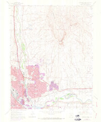
1961 Map of Northeast Pueblo
USGS Topo · Published 1973About this map
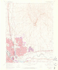
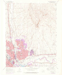
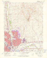
Arkansas River and Fountain Creek converge in this detailed look at a growing industrial and transportation hub. The urban expansion of Pueblo is clearly documented through purple photorevision tints, showing new residential developments and schools like East High Sch and Belmont Sch pushing east toward Fearnowville. The city’s complex infrastructure is anchored by landmarks such as the State Hospital, Mineral Palace, and the large Stockyard near the riverbanks.
Find a feature on this map
60 named features on this map. Tap any name to fly to it.
Don’t see what you’re looking for? This feature index may not catch every label — zoom into the map to look around manually.
Map Details
Editions of this 1961 Northeast Pueblo Map
7 editions found
Other maps of this area

1891 · Pueblo
USGS Topo · 1:125,000

1891 · Nepesta
USGS Topo · 1:125,000

1893 · Nepesta
USGS Topo · 1:125,000

1894 · Pueblo
USGS Topo · 1:125,000

1896 · Pueblo
USGS Topo · 1:125,000

1897 · Pueblo
USGS Topo · 1:125,000

1904 · Nepesta
USGS Topo · 1:125,000

1954 · Pueblo
USGS Topo · 1:250,000

1957 · Pueblo
USGS Topo · 1:250,000

1958 · Pueblo
USGS Topo · 1:250,000