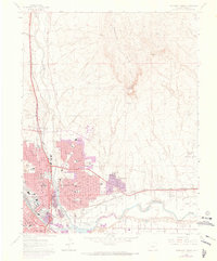
1961 Map of Northeast Pueblo
USGS Topo · Published 1973About this map
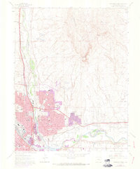
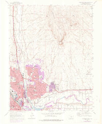
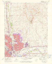
Pueblo stands as a significant industrial and transportation hub at the confluence of Fountain Creek and the Arkansas River during the mid-twentieth century. The city's landscape is heavily influenced by the presence of major rail corridors, including the Denver and Rio Grande Western Railroad, the Atchison Topeka and Santa Fe, and the Missouri Pacific. Urban expansion in the 1960s and early 1970s is evident through residential developments like Fearnowville and the growth around Pueblo Memorial Airport.
Find a feature on this map
50 named features on this map. Tap any name to fly to it.
Don’t see what you’re looking for? This feature index may not catch every label — zoom into the map to look around manually.
Map Details
Editions of this 1961 Northeast Pueblo Map
7 editions found
Other maps of this area

1891 · Pueblo
USGS Topo · 1:125,000

1891 · Nepesta
USGS Topo · 1:125,000

1893 · Nepesta
USGS Topo · 1:125,000

1894 · Pueblo
USGS Topo · 1:125,000

1896 · Pueblo
USGS Topo · 1:125,000

1897 · Pueblo
USGS Topo · 1:125,000

1904 · Nepesta
USGS Topo · 1:125,000

1954 · Pueblo
USGS Topo · 1:250,000

1957 · Pueblo
USGS Topo · 1:250,000

1958 · Pueblo
USGS Topo · 1:250,000