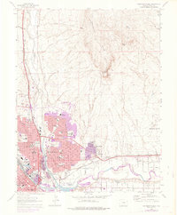
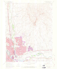
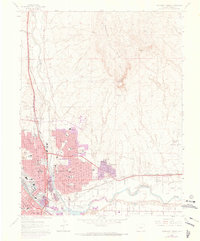
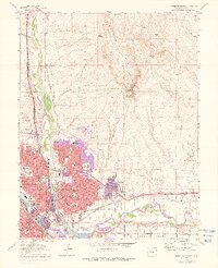
1961 Map of Northeast Pueblo
USGS Topo · Published 1976About this map
Pueblo is captured here during a period of significant mid-century expansion, with the northern reaches of the city showing development near the University of Southern Colorado. This transition from the industrial riverfront to residential growth is marked by the addition of the Belmont and East High campuses. The landscape is defined by the convergence of the Arkansas River and Fountain Creek, where heavy infrastructure like the stockyard and Smelter Hill reflects the city's long-standing industrial identity.
Find a feature on this map
47 named features on this map. Tap any name to fly to it.
Don’t see what you’re looking for? This feature index may not catch every label — zoom into the map to look around manually.
Map Details
Editions of this 1961 Northeast Pueblo Map
7 editions found
Other maps of this area

1891 · Pueblo
USGS Topo · 1:125,000

1891 · Nepesta
USGS Topo · 1:125,000

1893 · Nepesta
USGS Topo · 1:125,000

1894 · Pueblo
USGS Topo · 1:125,000

1896 · Pueblo
USGS Topo · 1:125,000

1897 · Pueblo
USGS Topo · 1:125,000

1904 · Nepesta
USGS Topo · 1:125,000

1954 · Pueblo
USGS Topo · 1:250,000

1957 · Pueblo
USGS Topo · 1:250,000

1958 · Pueblo
USGS Topo · 1:250,000