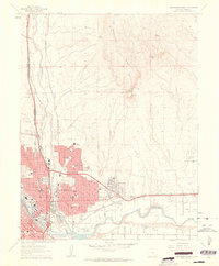
1961 Map of Northeast Pueblo
USGS Topo · Published 1963About this map
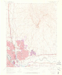
The Arkansas River and Fountain Creek converge at the heart of this early 1960s urban landscape, illustrating the industrial and civic development of Pueblo. The eastern residential expansion is clearly visible in the burgeoning neighborhood of Belmont and the smaller settlement of Fearnowville, while the northern reaches are dominated by the geological prominence of Baculite Mesa. This survey documents a city deeply integrated with its transportation infrastructure, showing the extensive tracks of the Denver and Rio Grande Western and the Atchison Topeka and Santa Fe railroads alongside an emerging network of schools like Heaton Jr High Sch and East High Sch. Local community life is further anchored by landmarks such as Mineral Palace Park, Masonic Cem, and St Mary Hospital, reflecting the institutional growth of the period.
Find a feature on this map
46 named features on this map. Tap any name to fly to it.
Don’t see what you’re looking for? This feature index may not catch every label — zoom into the map to look around manually.
Map Details
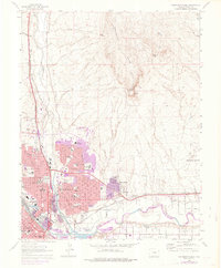
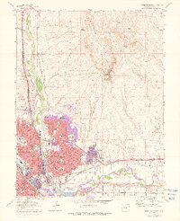
Editions of this 1961 Northeast Pueblo Map
7 editions found
Other maps of this area

1891 · Pueblo
USGS Topo · 1:125,000

1891 · Nepesta
USGS Topo · 1:125,000

1893 · Nepesta
USGS Topo · 1:125,000

1894 · Pueblo
USGS Topo · 1:125,000

1896 · Pueblo
USGS Topo · 1:125,000

1897 · Pueblo
USGS Topo · 1:125,000

1904 · Nepesta
USGS Topo · 1:125,000

1954 · Pueblo
USGS Topo · 1:250,000

1957 · Pueblo
USGS Topo · 1:250,000

1958 · Pueblo
USGS Topo · 1:250,000