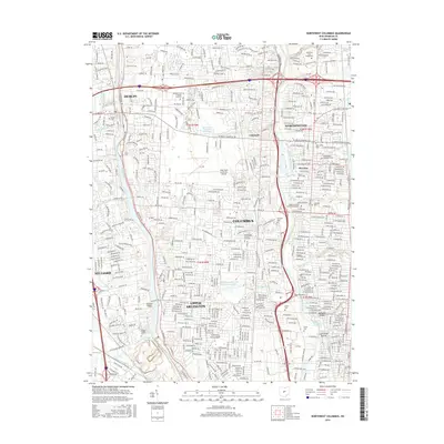
2016 Map of Northwest Columbus
USGS Topo · Published 2016About this map
The Scioto River and Olentangy River corridors define the development of this northern Columbus landscape, where established suburbs meet institutional anchors. To the west, Dublin and Hilliard surround the Griggs Reservoir, while the central portion is dominated by the Ohio State University Airport and the Brookside Country Club Lake. The mapping reveals a high density of historical cemeteries, including Wesley Chapel Cem and Dublin Cem, which provide valuable points of reference for genealogists tracking early families in Franklin County.
Find a feature on this map
55 named features on this map. Tap any name to fly to it.
Don’t see what you’re looking for? This feature index may not catch every label — zoom into the map to look around manually.
Map Details
Editions of this 2016 Northwest Columbus Map
This is the sole edition of this map. No revisions or reprints were ever made.
Other maps of this area

1901 · Dublin
USGS Topo · 1:62,500

1902 · Westerville
USGS Topo · 1:62,500

1903 · Dublin
USGS Topo · 1:62,500

1904 · Westerville
USGS Topo · 1:62,500

1923 · West Columbus
USGS Topo · 1:62,500

1925 · East Columbus
USGS Topo · 1:62,500

1925 · West Columbus
USGS Topo · 1:62,500

1943 · East Columbus
USGS Topo · 1:62,500

1947 · Columbus
USGS Topo · 1:250,000

1950 · Marion
USGS Topo · 1:250,000