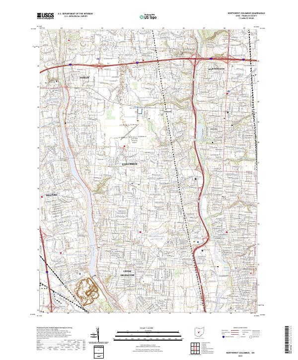
2023 Map of Northwest Columbus
USGS Topo · Published 2023About this map
The Scioto River and Olentangy River define this portion of the northern Columbus suburbs, tracing a landscape shaped by glacial watercourses and rapid residential development. This 2023 survey documents the densely integrated borders of Worthington, Dublin, Hilliard, and Upper Arlington, where established neighborhoods meet significant institutional landmarks. Among these are the extensive grounds of the Ohio State University Airport and the Pontifical College Josephinum, while the Ohio State University Main Campus is visible at the southeastern edge.
Find a feature on this map
140 named features on this map. Tap any name to fly to it.
Don’t see what you’re looking for? This feature index may not catch every label — zoom into the map to look around manually.
Map Details
Editions of this 2023 Northwest Columbus Map
This is the sole edition of this map. No revisions or reprints were ever made.
Other maps of this area

1901 · Dublin
USGS Topo · 1:62,500

1902 · Westerville
USGS Topo · 1:62,500

1903 · Dublin
USGS Topo · 1:62,500

1904 · Westerville
USGS Topo · 1:62,500

1923 · West Columbus
USGS Topo · 1:62,500

1925 · East Columbus
USGS Topo · 1:62,500

1925 · West Columbus
USGS Topo · 1:62,500

1943 · East Columbus
USGS Topo · 1:62,500

1947 · Columbus
USGS Topo · 1:250,000

1950 · Marion
USGS Topo · 1:250,000