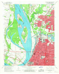
1965 Map of Northwest Memphis
USGS Topo · Published 1967About this map
Mud Island and the sprawling Wolf River drainage define this riverfront landscape at the mid-century peak of the city's industrial and urban expansion. The western bank, largely undeveloped and prone to the seasonal shifts of the Mississippi River, features major landmarks like Chicken Island and Robinson Crusoe Island alongside the protective St Francis Levee. On the eastern shore, the core of Memphis is a dense grid of infrastructure, showing the extensive medical complexes of the Univ of Tennessee Medical Center and various Hospitals alongside the established neighborhood of Frayser.
Find a feature on this map
102 named features on this map. Tap any name to fly to it.
Don’t see what you’re looking for? This feature index may not catch every label — zoom into the map to look around manually.
Map Details
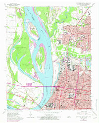
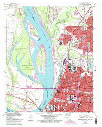
Editions of this 1965 Northwest Memphis Map
3 editions found
Other maps of this area

1916 · Memphis
USGS Topo · 1:62,500

1925 · Memphis
USGS Topo · 1:48,000

1927 · Memphis
USGS Topo · 1:62,500

1931 · Jericho
USGS Topo · 1:62,500

1939 · Jericho
USGS Topo · 1:62,500

1939 · Memphis
USGS Topo · 1:62,500

1942 · Millington
USGS Topo · 1:62,500

1952 · Jericho
USGS Topo · 1:62,500

1953 · Memphis
USGS Topo · 1:250,000

1955 · Memphis
USGS Topo · 1:62,500