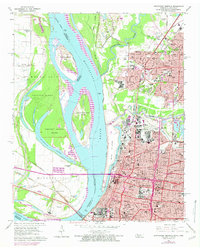
1965 Map of Northwest Memphis
USGS Topo · Published 1974About this map
The Mississippi River dominates this mid-1960s landscape, serving as a dynamic border between Tennessee and Arkansas. Major engineering projects are evident where the Memphis-Arkansas Bridge, Harahan Bridge, and Frisco Bridge converge at Bridge Junction, connecting the urban core of Memphis to the Arkansas floodplains. On the Tennessee side, the city's growth is visible through dense residential grids in Frayser and educational landmarks like Owen College, Manassas High Sch, and Memphis Technical Sch.
Find a feature on this map
100 named features on this map. Tap any name to fly to it.
Don’t see what you’re looking for? This feature index may not catch every label — zoom into the map to look around manually.
Map Details
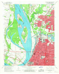
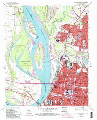
Editions of this 1965 Northwest Memphis Map
3 editions found
Other maps of this area

1916 · Memphis
USGS Topo · 1:62,500

1925 · Memphis
USGS Topo · 1:48,000

1927 · Memphis
USGS Topo · 1:62,500

1931 · Jericho
USGS Topo · 1:62,500

1939 · Jericho
USGS Topo · 1:62,500

1939 · Memphis
USGS Topo · 1:62,500

1942 · Millington
USGS Topo · 1:62,500

1952 · Jericho
USGS Topo · 1:62,500

1953 · Memphis
USGS Topo · 1:250,000

1955 · Memphis
USGS Topo · 1:62,500