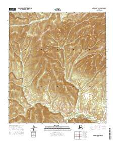
2014 Map of Norton Bay A-1 SE
USGS Topo · Published 2014About this map
Rodo River meanders across the northern portion of this terrain, cutting through the high country of the Yukon-Koyukuk region. The landscape is defined by significant elevation changes, with numerous ridges and drainage systems flowing toward the southern boundary. In the southeast corner, the headwaters of Stink Cr emerge from the steep slopes, illustrating the complex hydrology of this subarctic wilderness. The map provides a precise look at the township and range divisions, including t16s r2w and t17s r2w, which partition the land during this period of 21st-century USGS mapping.
Find a feature on this map
6 named features on this map. Tap any name to fly to it.
Don’t see what you’re looking for? This feature index may not catch every label — zoom into the map to look around manually.
Map Details
Editions of this 2014 Norton Bay A-1 SE Map
This is the sole edition of this map. No revisions or reprints were ever made.
Other maps of this area

1945 · Nulato
USGS Topo · 1:250,000

1948 · Norton Bay
USGS Topo · 1:250,000

1951 · Ophir
USGS Topo · 1:250,000

1951 · Nulato
USGS Topo · 1:250,000

1951 · Unalakleet
USGS Topo · 1:250,000

1951 · Norton Bay
USGS Topo · 1:250,000

1952 · Nulato
USGS Topo · 1:250,000

1952 · Nulato A-6
USGS Topo · 1:63,360

1952 · Unalakleet D-1
USGS Topo · 1:63,360

1952 · Unalakleet
USGS Topo · 1:250,000