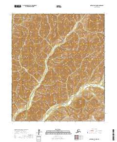
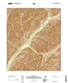
2017 Map of Norton Bay B-2 NW
USGS Topo · Published 2017About this map
The North River meanders through this portion of the Alaskan interior, serving as the primary drainage for the surrounding terrain. This landscape is defined by the high-latitude border between the Nome Census Area and the Yukon-Koyukuk Census Area, a division that marks the transition between distinct administrative regions of the bush. The topography is characterized by a dense network of ridges and drainages that feed into the river system, reflecting the complex hydrological patterns of the subarctic environment. While largely devoid of named settlements, the map provides a precise record of the natural landforms and the established Public Land Survey System grids, including t12s r6w and t11s r6w, which structure the remote territory for resource management and surveying.
Find a feature on this map
10 named features on this map. Tap any name to fly to it.
Don’t see what you’re looking for? This feature index may not catch every label — zoom into the map to look around manually.
Map Details
Editions of this 2017 Norton Bay B-2 NW Map
This is the sole edition of this map. No revisions or reprints were ever made.
Other maps of this area

1948 · Norton Bay
USGS Topo · 1:250,000

1950 · Norton Bay B-3
USGS Topo · 1:63,360

1950 · Norton Bay C-3
USGS Topo · 1:63,360

1951 · Norton Bay
USGS Topo · 1:250,000
1953 · Norton Bay B-2
USGS Topo · 1:63,360

1953 · Norton Bay C-2
USGS Topo · 1:63,360

1955 · Norton Bay
USGS Topo · 1:250,000
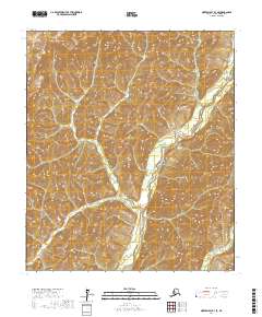
2017 · Norton Bay B-3 SE
USGS Topo · 1:25,000
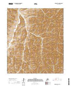
2017 · Norton Bay B-3 NE
USGS Topo · 1:25,000
2017 · Norton Bay B-2 SE
USGS Topo · 1:25,000