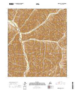
2017 Map of Norton Bay C-2 NE
USGS Topo · Published 2017About this map
The Nulato Hills dominate this section of the Yukon-Koyukuk Census Area, defining a landscape shaped by significant topographic relief and complex water systems. Winding through the western portion of the terrain, the Shaktoolik River serves as the primary drainage for the area, while the Egoosik Cr carves through the northern uplands. This area is characterized by its high elevation contours and the absence of established road networks, reflecting the remote nature of the Alaskan interior where travel traditionally followed the natural corridors of river valleys.
Find a feature on this map
9 named features on this map. Tap any name to fly to it.
Don’t see what you’re looking for? This feature index may not catch every label — zoom into the map to look around manually.
Map Details
Editions of this 2017 Norton Bay C-2 NE Map
This is the sole edition of this map. No revisions or reprints were ever made.
Other maps of this area

1948 · Norton Bay
USGS Topo · 1:250,000

1951 · Norton Bay
USGS Topo · 1:250,000
1952 · Norton Bay C-1
USGS Topo · 1:63,360

1953 · Norton Bay C-2
USGS Topo · 1:63,360

1954 · Norton Bay D-2
USGS Topo · 1:63,360
1955 · Norton Bay D-1
USGS Topo · 1:63,360

1955 · Norton Bay
USGS Topo · 1:250,000
2017 · Norton Bay C-2 SE
USGS Topo · 1:25,000
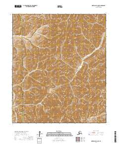
2017 · Norton Bay C-2 SW
USGS Topo · 1:25,000
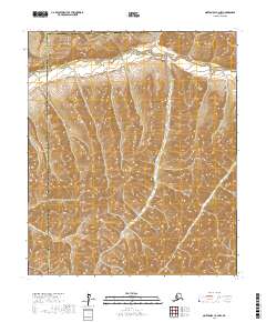
2017 · Norton Bay C-2 NW
USGS Topo · 1:25,000