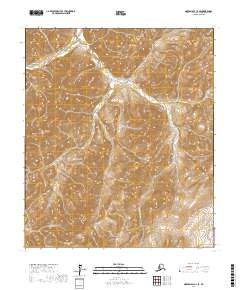
2017 Map of Norton Bay C-2 SE
USGS Topo · Published 2017About this map
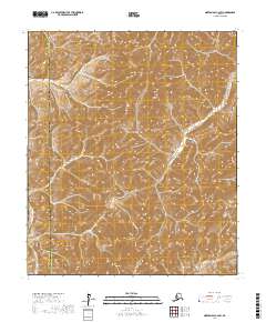
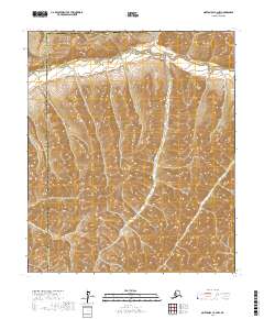
Shaktoolik River defines the drainage pattern of this interior landscape in the Yukon-Koyukuk Census Area, winding through the northern and central portions of the quadrangle. The terrain is characterized by a series of high, repeating ridges and valleys that organize the movement of water across the region. In the northwestern corner, Brass Pan Cr flows through steep elevation gradients, while the very southeastern edge of the map captures the headwaters or upper reaches of the Nulato River. This 2017 survey reflects a remote Alaskian environment where the natural hydrography dictated the historical movement and settlement patterns of the region, though no modern roads or structures are noted within these specific township boundaries.
Find a feature on this map
7 named features on this map. Tap any name to fly to it.
Don’t see what you’re looking for? This feature index may not catch every label — zoom into the map to look around manually.
Map Details
Editions of this 2017 Norton Bay C-2 SE Map
This is the sole edition of this map. No revisions or reprints were ever made.
Other maps of this area

1948 · Norton Bay
USGS Topo · 1:250,000

1951 · Norton Bay
USGS Topo · 1:250,000

1952 · Norton Bay B-1
USGS Topo · 1:63,360
1952 · Norton Bay C-1
USGS Topo · 1:63,360
1953 · Norton Bay B-2
USGS Topo · 1:63,360

1953 · Norton Bay C-2
USGS Topo · 1:63,360

1955 · Norton Bay
USGS Topo · 1:250,000
2017 · Norton Bay C-2 NE
USGS Topo · 1:25,000
2017 · Norton Bay C-2 SW
USGS Topo · 1:25,000
2017 · Norton Bay C-2 NW
USGS Topo · 1:25,000