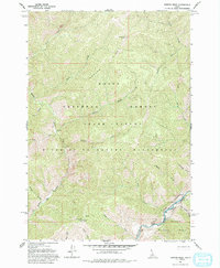
1962 Map of Norton Ridge
USGS Topo · Published 1994About this map
Norton Ridge dominates this interior Idaho landscape, standing as a high divide between the many drainages that feed into the Middle Fork Salmon River. This area, as it appeared in the early 1960s, reveals a land of high-altitude forest management and isolated outposts. The presence of the Norton Ridge Lookout and the Mahoney Creek Lookout Heliport highlights the vital importance of fire suppression and aerial accessibility in this roadless terrain.
Find a feature on this map
32 named features on this map. Tap any name to fly to it.
Don’t see what you’re looking for? This feature index may not catch every label — zoom into the map to look around manually.
Map Details
Editions of this 1962 Norton Ridge Map
3 editions found
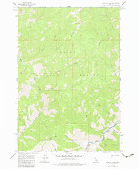
Other maps of this area

1930 · Casto
USGS Topo · 1:125,000

1957 · Challis
USGS Topo · 1:250,000

1960 · Challis
USGS Topo · 1:250,000

1961 · Greyhound Ridge
USGS Topo · 1:62,500

1962 · Bear Creek Point
USGS Topo · 1:24,000

1962 · Norton Ridge
USGS Topo · 1:24,000

1962 · Shellrock Peak
USGS Topo · 1:24,000

1962 · Ramey Hill
USGS Topo · 1:24,000

1963 · Challis
USGS Topo · 1:250,000
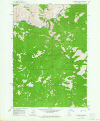
1963 · Sliderock Ridge
USGS Topo · 1:24,000