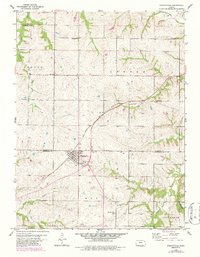
1960 Map of Nortonville
USGS Topo · Published 1986About this map
Nortonville sits at the junction of several townships, serving as a hub for the agricultural landscape of Jefferson and Atchison counties. The town is defined by its position along the Atchison Topeka and Santa Fe railroad, which arcs through the center of the sheet and historically drove the development of this prairie region. Outside the town center, the map reveals a meticulously organized rural society, with one-room schoolhouses and local cemeteries spaced regularly across the terrain.
Find a feature on this map
23 named features on this map. Tap any name to fly to it.
Don’t see what you’re looking for? This feature index may not catch every label — zoom into the map to look around manually.
Map Details
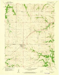
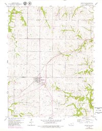
Editions of this 1960 Nortonville Map
3 editions found
Other maps of this area

1885 · Atchison
USGS Topo · 1:125,000

1886 · Oskaloosa
USGS Topo · 1:125,000

1888 · Oskaloosa
USGS Topo · 1:125,000

1888 · Atchison
USGS Topo · 1:125,000

1893 · Atchison
USGS Topo · 1:125,000

1894 · Oskaloosa
USGS Topo · 1:125,000

1926 · Atchison
USGS Topo · 1:62,500

1950 · Kansas City
USGS Topo · 1:250,000

1954 · Kansas City
USGS Topo · 1:250,000

1956 · Kansas City
USGS Topo · 1:250,000