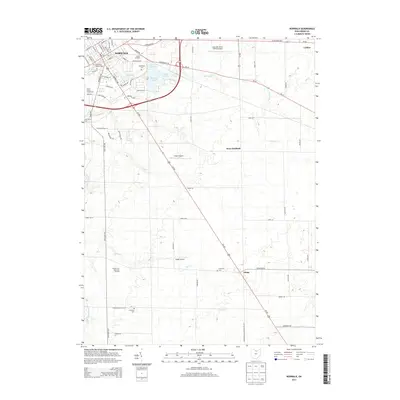
2013 Map of Norwalk
USGS Topo · Published 2013About this map
Norwalk serves as a central hub of activity, where the Huron Junction and Huron County Fairgrounds anchor the town's northern expansion. The landscape transitions from the dense street grid of W League St and Milan Ave to the managed water systems of the Upper Reservoir, Lower Reservoir, and Memorial Reservoir. This area reflects the deliberate development of county infrastructure, with the Norwalk-Huron County Airport and various private airstrips like Knight Airport and Chapin Airport dotting the countryside. To the south and east, the character shifts toward agricultural and rural residential patterns, marked by historic intersections like Olena and West Hartland. Genealogists will find a wealth of data in the numerous burial sites across the township, including Saint Peter Catholic Cem, Woodlawn Cem, and the uniquely named Axe Factory Cem. Small watercourses like Cole Cr and Norwalk Cr lace between these settlements, following the natural contours of the north Ohio terrain.
Find a feature on this map
74 named features on this map. Tap any name to fly to it.
Don’t see what you’re looking for? This feature index may not catch every label — zoom into the map to look around manually.
Map Details
Editions of this 2013 Norwalk Map
This is the sole edition of this map. No revisions or reprints were ever made.
Other maps of this area

1903 · Vermilion
USGS Topo · 1:62,500

1904 · Sandusky
USGS Topo · 1:62,500

1908 · New London
USGS Topo · 1:62,500

1915 · Norwalk
USGS Topo · 1:62,500

1944 · Norwalk
USGS Topo · 1:62,500

1956 · Toledo
USGS Topo · 1:250,000

1959 · Kimball
USGS Topo · 1:24,000

1959 · Milan
USGS Topo · 1:24,000

1959 · Berlin Heights
USGS Topo · 1:24,000

1960 · New London
USGS Topo · 1:24,000