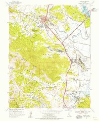
1954 Map of Novato
USGS Topo · Published 1955About this map
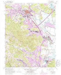
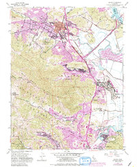
The sprawling facilities of Hamilton Air Force Base dominate the marshlands along the eastern edge of this mid-century survey, reflecting the era's significant military presence in Marin County. Further inland, the community of Novato is shown just as postwar suburban expansion begins to shape the valley floor, with neighborhoods like Novato Heights appearing alongside established landmarks such as the Grant Ave School and Hill School. The rugged western terrain of San Pedro Ridge and Canada De Herrera remains largely undeveloped, defined by landmarks like Big Rock and the winding Lucas Valley Road.
Find a feature on this map
51 named features on this map. Tap any name to fly to it.
Don’t see what you’re looking for? This feature index may not catch every label — zoom into the map to look around manually.
Map Details
Editions of this 1954 Novato Map
6 editions found
Other maps of this area

1895 · San Francisco
USGS Topo · 1:62,500

1897 · Tamalpais
USGS Topo · 1:62,500

1899 · San Francisco
USGS Topo · 1:62,500

1902 · Napa
USGS Topo · 1:125,000

1914 · Petaluma
USGS Topo · 1:62,500

1915 · San Francisco
USGS Topo · 1:62,500

1916 · Mare Island
USGS Topo · 1:62,500

1941 · Tamalpais
USGS Topo · 1:62,500

1942 · Mare Island
USGS Topo · 1:62,500

1942 · Petaluma
USGS Topo · 1:62,500